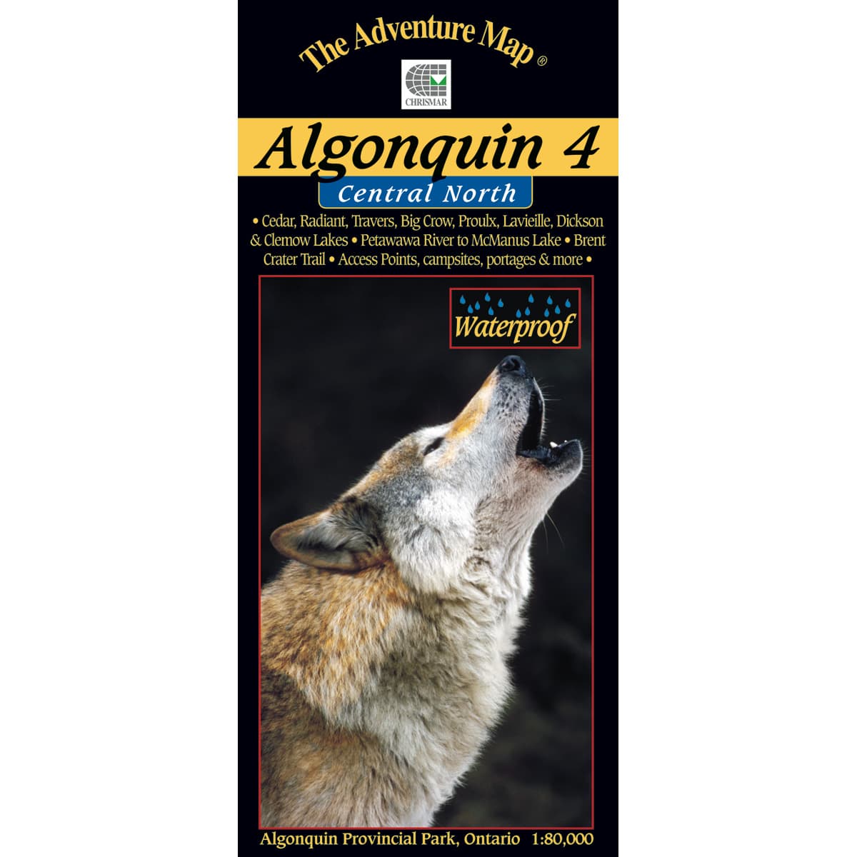
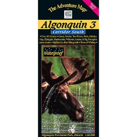
The Adventure Map Algonquin 4 Central North
The fourth map from Chrismar in the Algonquin Provincial Park series. This map covers the area from beyond the park boundary in the North, all the way to the South in Dickson Lake. Also includes the Petewawa River, all the way up to McManus Lake at the east boundary. There are 6 access points on this map including several of the most remote in the park, which leads to routes where you're less likely to encounter other paddlers - in the true wilderness parts of Algonquin.
Trusted Equipment
5-Star Service

