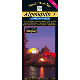
The Adventure Map Algonquin 1 Corridor North
A detailed topographic map and guide to Algonquin Provincial Park. Includes paddling routes, hiking and backpacking trails, and all attractions along highway 60 corridor. This map covers the area from Opeongo Lake, the visitor centre, park boundary in the west, Tim River, Lake La Muir Ragged Lake and Whitefish Lake.


