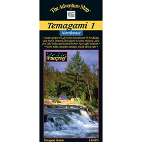
The Adventure Map Temagami 1 Northeast
Temagami provides thousands of lakes and rivers among the rocky forested hills of northern Ontario.This 1:80,000 scale, and 24"x25" map covers the Northeast quadrant of the main region, and is bounded by Maple Mountain (Ontario's 3rd highest elevation) to the west, Latchford and Hwy 11 to the east, Wakimika Lake, Sandy Inlet and Red Squirrel Road to the south and the Spray Creek/Big Spring Lake/Montreal River junction to the north.


