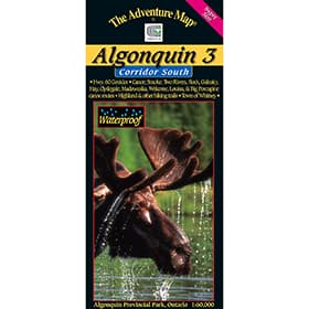
Oxtongue River & Ragged Falls Provincial Park is a gem located just west of Algonquin Park. This waterproof map showcases Canoe Lake and Smoke Lake in Algonquin, to Oxtongue Lake, with several access points, and hiking trails to choose from, and is your guide to an exciting two to three day adventure. The 1:30,000 scale provides accurate detail of Whiskey Rapids, Twin Falls, High Falls, as well as the Oxtongue River itself (downstream and upstream), Oxtongue Lake, the Park Lake to Bluebell Lake section of Algonquin, as well as campsites, portages, historic features, and more.
The Adventure Map Oxtongue River Provincial Park
- Scale : 1:30,000
- Waterproof
- Map features: Oxtongue Lake in the west to Canoe and Smoke Lakes in Algonquin Park to the east. With campsites, portages, access points, rapids, falls, historic features, hiking trails, facilities and more
- Back Side: Providing local history, route descriptions, safety issues, contact and other information to help you plan and take your trip
Compact and Waterproof
The Adventure Map is compact (most measure 18x24"/45x61cm or less), easy to read, and doesn't require instructions to help you with folding! The Adventure Maps are also waterproof. The maps are printed on specially-made, extra tough, waterproof plastic. Put to the test, of being stomped, crumpled and drowned, to be certain it won't let you down in adventurous (i.e. fog, rain, sleet, snow, sweat) situations.


